Category Archives: weather
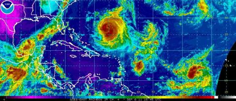
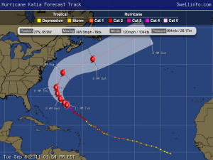
Hurricane Katia Update
2:00 PM AST Tue Sep 6
Location: 27.3°N 66.4°W
Max sustained: 115 mph
Moving: NW at 9 mph
Min pressure: 963 mb
Tuesday Sept 6
Knee to waist high mix of E ground swell and NE wind swell for the morning. The surf builds a bit from the E in the afternoon with occasional sets up to stomach high.
Wednesday Sept 7 and Thursday Sept 8 Surf Outlook
Chest to shoulder high E ground swell in the morning builds in the afternoon with occasional sets up to slightly overhead high.
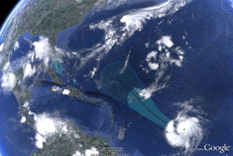
Tropical Storm Katia Update and Forecasted Track
September 2 2011
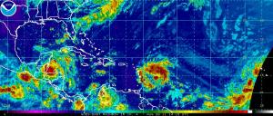
Outlook: Right now we have a hurricane strength system mid Atlantic with a track that’ll pushing swell in the general direction of Florida and is moving into favourable conditions for increased strength over the next few days. The NHC suggests that the storm will reach major hurricane strength by Sunday.
Atlantic Tropical Storm Update
THIS SYSTEM HAS A HIGH CHANCE…(80 PERCENT)…OF BECOMING A TROPICAL CYCLONE DURING THE NEXT 48 HOURS. INTERESTS IN THE LESSER ANTILLES…THE VIRGIN ISLANDS…AND PUERTO RICO SHOULD MONITOR THE PROGRESS OF THIS DISTURBANCE.
Forecast is projecting a organized swell for the east coast of Florida late next week. Our fingers are crossed for swell. We will keep you updated as things progress.
Tropics in the Atlantic are quiet for the moment.
NOAA adjusts their pre season hurricane forecast
NOAA issued its updated 2011 Atlantic hurricane season outlook today raising the number of expected named storms from its pre-season outlook issued in May. Forecasters also increased their confidence that 2011 will be an active Atlantic hurricane season.
- 14 to 19 named storms (top winds of 39 mph or higher), including:
- 7 to 10 hurricanes (top winds of 74 mph or higher), of which:
- 3 to 5 could be major hurricanes (Category 3, 4 or 5; winds of at least 111 mph)
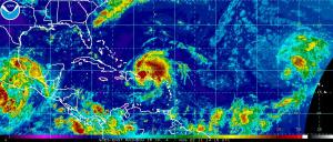
Stay updated yourself at their live satellite link below and have a great Tuesday!
http://www.ssd.noaa.gov/goes/east/tatl/flash-rb.html
